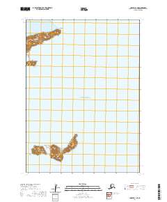
2020 Map of Chignik A-1 NE
USGS Topo · Published 2020About this map
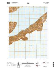
Chankliut Island and the jagged southern edge of the Alaska Peninsula dominate this maritime survey of the Gulf of Alaska. The coastal geography is defined by prominent headlands like Castle Cape and Tuliumnit Point, which frame the entrance to Nikolai Cove. This environment, characterized by steep elevation changes right at the shoreline, remains largely uninhabited and focuses on the intersection of the Aleutian Range and the sea. The map detail provides a clear look at the bathymetry and topography of these remote landforms, capturing the precise contours of the islands and capes as they appeared in 2020.
Find a feature on this map
10 named features on this map. Tap any name to fly to it.
Don’t see what you’re looking for? This feature index may not catch every label — zoom into the map to look around manually.
Map Details
Editions of this 2020 Chignik A-1 NE Map
This is the sole edition of this map. No revisions or reprints were ever made.
Other maps of this area

1951 · Sutwik Island
USGS Topo · 1:250,000

1963 · Chignik B-1
USGS Topo · 1:63,360

1963 · Sutwik Island B-6
USGS Topo · 1:63,360
1963 · Chignik A-1
USGS Topo · 1:63,360

1963 · Sutwik Island
USGS Topo · 1:250,000

1963 · Chignik
USGS Topo · 1:250,000
2019 · Sutwik Island B-6 SW
USGS Topo · 1:25,000
2020 · Chignik B-1 SW
USGS Topo · 1:25,000
2020 · Chignik A-1 NW
USGS Topo · 1:25,000