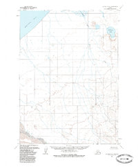
1963 Map of Chignik B-6
USGS Topo · Published 1985About this map
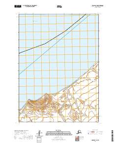
Bristol Bay defines the northwestern shoreline of this coastal Alaskan landscape, where the tides of the Bering Sea meet a complex network of glacial and alluvial drainages. Mapping of this area relied on photogrammetric methods from aerial photography taken between 1957 and 1962, documenting a period when the interior remained largely unsurveyed by ground crews. The low-lying terrain is dominated by the sprawling waters of Wildman Lake and the meandering course of Ocean River, which flows through a region of swamps and intricate water systems. To the south, the Muddy River and Fracture Creek carve through the land, illustrating the shifting hydrography of the Alaska Peninsula. This 1963 field-annotated record provides a detailed view of an undeveloped wilderness where land lines represent predetermined but unmarked locations, serving as a baseline for the remote geography of the Seward Meridian.
Find a feature on this map
11 named features on this map. Tap any name to fly to it.
Don’t see what you’re looking for? This feature index may not catch every label — zoom into the map to look around manually.
Map Details
Editions of this 1963 Chignik B-6 Map
3 editions found
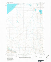
Other maps of this area

1963 · Chignik A-6
USGS Topo · 1:63,360
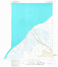
1963 · Chignik B-7
USGS Topo · 1:63,360

1963 · Chignik B-5
USGS Topo · 1:63,360

1963 · Chignik B-6
USGS Topo · 1:63,360

1963 · Chignik A-5
USGS Topo · 1:63,360
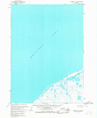
1963 · Chignik C-6
USGS Topo · 1:63,360

1963 · Chignik A-7
USGS Topo · 1:63,360

1963 · Chignik C-5
USGS Topo · 1:63,360

1963 · Chignik
USGS Topo · 1:250,000
2020 · Chignik B-7 NE
USGS Topo · 1:25,000