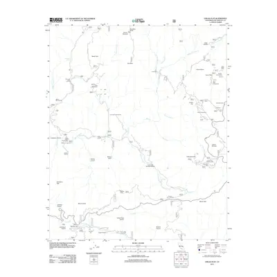
2012 Map of Chilao Flat
USGS Topo · Published 2012About this map
Chilao Flat serves as a central high-altitude basin within this montane landscape, where a concentration of recreational and residential outposts like Chilao Campground and Newcomb Ranch have long provided refuge. The terrain is defined by deep drainages and prominent peaks, including Mount Lawlor and Vetter Mountain, which overlook the complex watersheds of Big Tujunga Creek and the West Fork San Gabriel River.
Find a feature on this map
70 named features on this map. Tap any name to fly to it.
Don’t see what you’re looking for? This feature index may not catch every label — zoom into the map to look around manually.
Map Details
Editions of this 2012 Chilao Flat Map
This is the sole edition of this map. No revisions or reprints were ever made.
Other maps of this area

1894 · Los Angeles
USGS Topo · 1:62,500

1894 · Pomona
USGS Topo · 1:62,500

1896 · Pasadena
USGS Topo · 1:62,500

1897 · Pomona
USGS Topo · 1:62,500

1898 · Pomona
USGS Topo · 1:62,500

1900 · Pasadena
USGS Topo · 1:62,500

1900 · Tujunga
USGS Topo · 1:62,500

1900 · Los Angeles
USGS Topo · 1:62,500

1901 · Southern California Sheet No. 1
USGS Topo · 1:250,000

1903 · Rock Creek
USGS Topo · 1:62,500