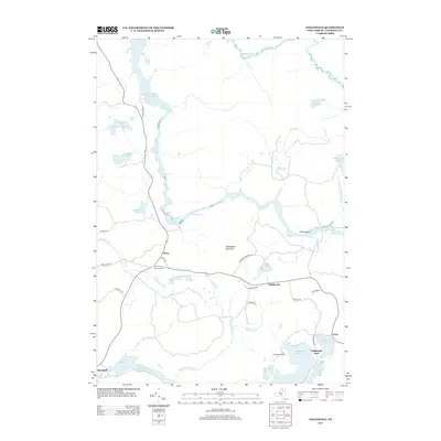
2013 Map of Childwold
USGS Topo · Published 2013About this map
Massawepie Lake and the grounds of Camp Massawepie anchor the southeastern corner of this Adirondack landscape, where water and woodland topography dictate the local road network. The Raquette River winds through the center of the quadrangle, punctuated by Jamestown Falls and Moosehead Rapids before reaching the broad Carry Falls Reservoir to the northwest. These waterways, along with the Jordan River and Grass River Flow, define the region's character as a crossroads of river systems. Small settlements like Childwold, Sevey Corners, and Gale are connected by routes such as Sevey Rd and Bancroft Rd, reflecting a quiet rural development pattern centered on major lakes and river crossings. Notable landmarks include the prominent Moosehead Mountain and numerous ponds like Catamount Pond and Sevey Pond.
Find a feature on this map
45 named features on this map. Tap any name to fly to it.
Don’t see what you’re looking for? This feature index may not catch every label — zoom into the map to look around manually.
Map Details
Editions of this 2013 Childwold Map
This is the sole edition of this map. No revisions or reprints were ever made.
Other maps of this area

1907 · Tupper Lake
USGS Topo · 1:62,500

1919 · Cranberry Lake
USGS Topo · 1:62,500

1920 · Childwold
USGS Topo · 1:62,500

1921 · Cranberry Lake
USGS Topo · 1:62,500

1921 · Childwold
USGS Topo · 1:48,000

1921 · Stark
USGS Topo · 1:62,500

1922 · Childwold
USGS Topo · 1:62,500

1923 · Stark
USGS Topo · 1:62,500

1931 · Cranberry Lake
USGS Topo · 1:62,500

1940 · Stark
USGS Topo · 1:62,500