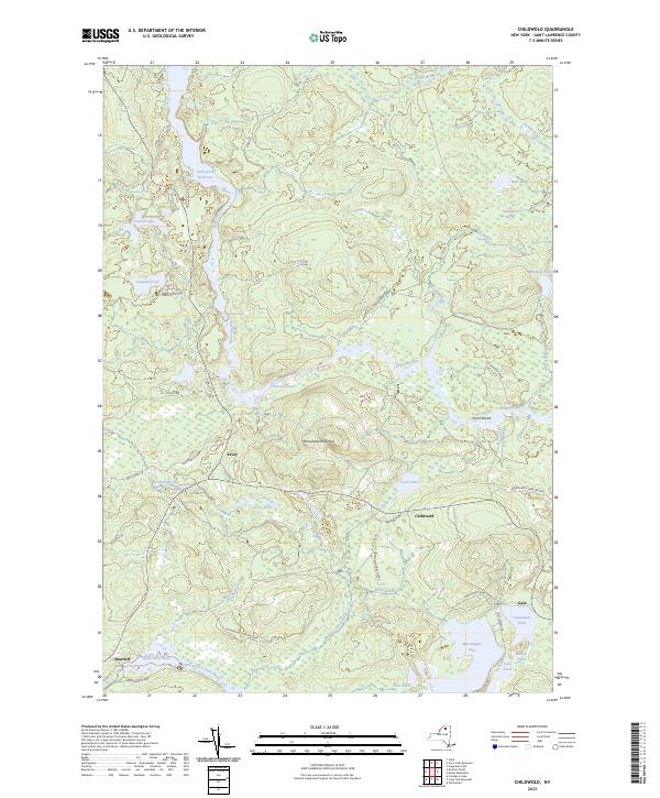
2023 Map of Childwold
USGS Topo · Published 2023About this map
Childwold and Sevey anchor this detailed study of the Saint Lawrence County landscape, where the Raquette River winds through the heart of the Adirondack Park. The river's course is punctuated by significant natural features, from the churning Moosehead Rapids to the drops at Jamestown Falls and Moody Falls. This 2023 edition highlights a region defined by its hydrography, showing the expansive Carry Falls Reservoir and smaller glacial features like Deer Pond and Salisbury Marsh.
Find a feature on this map
43 named features on this map. Tap any name to fly to it.
Don’t see what you’re looking for? This feature index may not catch every label — zoom into the map to look around manually.
Map Details
Editions of this 2023 Childwold Map
This is the sole edition of this map. No revisions or reprints were ever made.
Other maps of this area

1907 · Tupper Lake
USGS Topo · 1:62,500

1919 · Cranberry Lake
USGS Topo · 1:62,500

1920 · Childwold
USGS Topo · 1:62,500

1921 · Cranberry Lake
USGS Topo · 1:62,500

1921 · Childwold
USGS Topo · 1:48,000

1921 · Stark
USGS Topo · 1:62,500

1922 · Childwold
USGS Topo · 1:62,500

1923 · Stark
USGS Topo · 1:62,500

1931 · Cranberry Lake
USGS Topo · 1:62,500

1940 · Stark
USGS Topo · 1:62,500