
1922 Map of Childwold
USGS Topo · Published 1922About this map
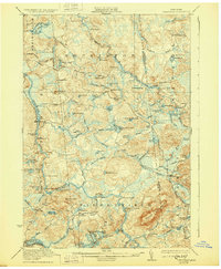
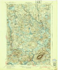
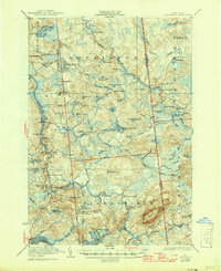
Childwold and Hollywood serve as the primary human touchpoints in this remote landscape of the northwestern Adirondacks. Surveyed shortly after the Great War, the map captures a wilderness still defined by logging camps and seasonal retreats, such as Kildare Club No 16, Sullivan Camp, and Grishee Camp. The terrain is a complex network of water and marsh, dominated by the Jordan River and the high peak of Mount Matumbla.
Find a feature on this map
79 named features on this map. Tap any name to fly to it.
Don’t see what you’re looking for? This feature index may not catch every label — zoom into the map to look around manually.
Map Details
Editions of this 1922 Childwold Map
4 editions found
Other maps of this area

1904 · Long Lake
USGS Topo · 1:62,500

1905 · Saint Regis
USGS Topo · 1:62,500

1907 · Tupper Lake
USGS Topo · 1:62,500

1908 · Potsdam
USGS Topo · 1:62,500

1919 · Nicholville
USGS Topo · 1:62,500

1919 · Cranberry Lake
USGS Topo · 1:62,500

1920 · Childwold
USGS Topo · 1:62,500

1921 · Cranberry Lake
USGS Topo · 1:62,500

1921 · Childwold
USGS Topo · 1:48,000

1921 · Nicholville
USGS Topo · 1:62,500