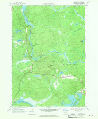
1968 Map of Childwold
USGS Topo · Published 1971About this map
Raquette River rapids and secluded Adirondack settlements define this 1968 landscape in St. Lawrence County. The village of Childwold sits at the center of the sheet, connected to Sevey Corners and Gale by State Route 56. The map documents a significant network of water and wilderness, from the expansive Carry Falls Reservoir in the northwest to the organized camping grounds of Camp Massawepe on the shores of Massawepe Lake.
Find a feature on this map
40 named features on this map. Tap any name to fly to it.
Don’t see what you’re looking for? This feature index may not catch every label — zoom into the map to look around manually.
Map Details
Editions of this 1968 Childwold Map
This is the sole edition of this map. No revisions or reprints were ever made.
Other maps of this area

1907 · Tupper Lake
USGS Topo · 1:62,500

1919 · Cranberry Lake
USGS Topo · 1:62,500

1920 · Childwold
USGS Topo · 1:62,500

1921 · Cranberry Lake
USGS Topo · 1:62,500

1921 · Childwold
USGS Topo · 1:48,000

1921 · Stark
USGS Topo · 1:62,500

1922 · Childwold
USGS Topo · 1:62,500

1923 · Stark
USGS Topo · 1:62,500

1931 · Cranberry Lake
USGS Topo · 1:62,500

1940 · Stark
USGS Topo · 1:62,500