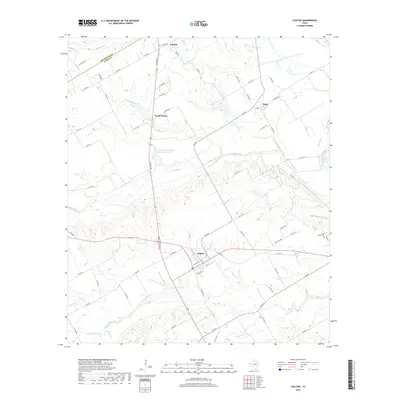
2019 Map of Chilton
USGS Topo · Published 2019About this map
Chilton and Golinda anchor this Central Texas landscape where the McLennan and Falls County line trends southwest to northeast. The map documents a predominantly agricultural region defined by an intricate network of waterways, including the winding Brazos River and Cow Bayou, which carve through the terrain. Small rural communities like Satin and North Prairie are connected by a web of farm-to-market roads and county routes, illustrating the persistent settlement patterns of this ranching and farming heartland.
Find a feature on this map
74 named features on this map. Tap any name to fly to it.
Don’t see what you’re looking for? This feature index may not catch every label — zoom into the map to look around manually.
Map Details
Editions of this 2019 Chilton Map
This is the sole edition of this map. No revisions or reprints were ever made.
Other maps of this area

1892 · Temple
USGS Topo · 1:125,000

1954 · Waco
USGS Topo · 1:250,000

1955 · Waco
USGS Topo · 1:250,000

1957 · Bruceville
USGS Topo · 1:24,000

1957 · Lorena
USGS Topo · 1:24,000

1957 · Riesel
USGS Topo · 1:24,000

1957 · Chilton
USGS Topo · 1:24,000

1957 · Marlin
USGS Topo · 1:24,000
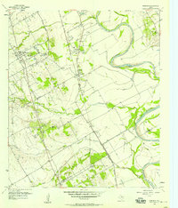
1957 · Robinson
USGS Topo · 1:24,000

1962 · Cedar Springs
USGS Topo · 1:24,000