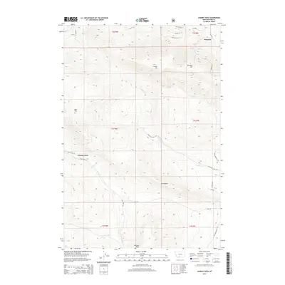
2014 Map of Chimney Rock
USGS Topo · Published 2014About this map
Wineglass Mtn and Canyon Mtn anchor this high-elevation landscape south of the Yellowstone River valley. This 2014 survey traces a network of backcountry routes and historic corridors, including the Old Yellowstone Trl N, which reflects the long history of travel through this portion of Park County. The small settlement of Wineglass and the prominent landmark of Chimney Rock are key points of reference within a terrain marked by distinctive features such as The Hogback and Antelope Butte.
Find a feature on this map
35 named features on this map. Tap any name to fly to it.
Don’t see what you’re looking for? This feature index may not catch every label — zoom into the map to look around manually.
Map Details
Editions of this 2014 Chimney Rock Map
This is the sole edition of this map. No revisions or reprints were ever made.
Other maps of this area
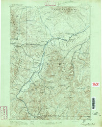
1891 · Livingston
USGS Topo · 1:250,000
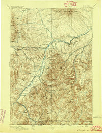
1893 · Livingston
USGS Topo · 1:250,000
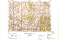
1947 · Bozeman
USGS Topo · 1:250,000
1948 · Bozeman
USGS Topo · 1:250,000
1951 · Bozeman Pass
USGS Topo · 1:62,500
1951 · Brisbin
USGS Topo · 1:24,000
1951 · Hoppers
USGS Topo · 1:24,000
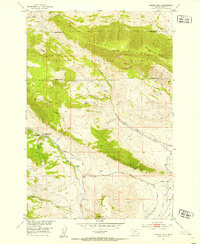
1951 · Chimney Rock
USGS Topo · 1:24,000
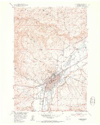
1951 · Livingston
USGS Topo · 1:24,000
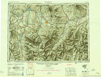
1955 · Bozeman
USGS Topo · 1:250,000