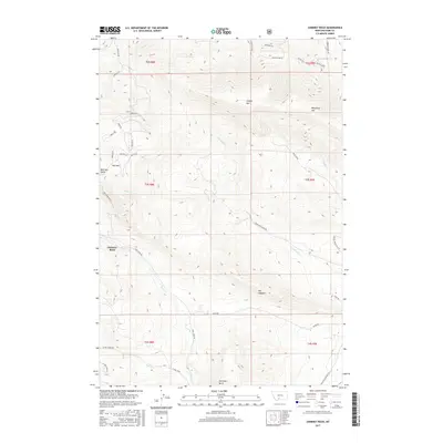
2017 Map of Chimney Rock
USGS Topo · Published 2017About this map
Chimney Rock and the high ridges of the Gallatin Range define this mountainous area of Park County, where steep drainage networks like Strickland Cr and Miner Cr carve through the high-elevation terrain. The landscape is marked by prominent peaks and ridges including Canyon Mtn, Wineglass Mtn, and the distinctive spine of The Hogback. Historically significant transit corridors skirt the edges of these peaks, notably the Old Yellowstone Trl N in the southeast and Cokedale Rd to the northwest. Lower-elevation landmarks such as Antelope Butte and Whitetail Butte provide orientation markers between the more formidable summits like Pine Mtn. This terrain, structured by the Public Land Survey System grids of T2S, T3S, and T4S, reflects a landscape primarily shaped by natural watercourses such as Pine Cr and Trail Cr, which dictate the placement of local roads like Divide Rd.
Find a feature on this map
44 named features on this map. Tap any name to fly to it.
Don’t see what you’re looking for? This feature index may not catch every label — zoom into the map to look around manually.
Map Details
Editions of this 2017 Chimney Rock Map
This is the sole edition of this map. No revisions or reprints were ever made.
Other maps of this area
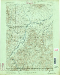
1891 · Livingston
USGS Topo · 1:250,000
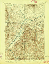
1893 · Livingston
USGS Topo · 1:250,000
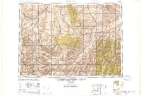
1947 · Bozeman
USGS Topo · 1:250,000
1948 · Bozeman
USGS Topo · 1:250,000
1951 · Bozeman Pass
USGS Topo · 1:62,500
1951 · Brisbin
USGS Topo · 1:24,000
1951 · Hoppers
USGS Topo · 1:24,000
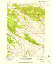
1951 · Chimney Rock
USGS Topo · 1:24,000
1951 · Livingston
USGS Topo · 1:24,000
1955 · Bozeman
USGS Topo · 1:250,000