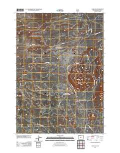
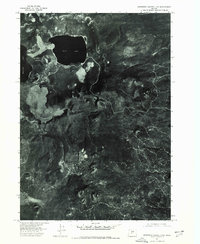
2011 Map of China Hat
USGS Topo · Published 2011About this map
China Hat dominates this high-elevation landscape of Deschutes County, serving as a prominent landmark in a volcanic region marked by distinct topographic rises. The area is characterized by several other named peaks including Pumice Butte, Ground Hog Butte, Kelly Butte, and the descriptive Cinder Cone. This 2011 survey by the U.S. Geological Survey illustrates a complex network of forestry and local access routes that permeate the terrain.
Find a feature on this map
17 named features on this map. Tap any name to fly to it.
Don’t see what you’re looking for? This feature index may not catch every label — zoom into the map to look around manually.
Map Details
Editions of this 2011 China Hat Map
This is the sole edition of this map. No revisions or reprints were ever made.
Other maps of this area

1931 · Newberry Crater
USGS Topo · 1:125,000

1935 · Newberry Crater
USGS Topo · 1:125,000

1955 · Crescent
USGS Topo · 1:250,000

1957 · Crescent
USGS Topo · 1:250,000

1958 · Crescent
USGS Topo · 1:250,000
1967 · Evans Well
USGS Topo · 1:24,000
1967 · Fuzztail Butte
USGS Topo · 1:24,000
1967 · Pine Mountain
USGS Topo · 1:24,000

1970 · Crescent
USGS Topo · 1:250,000
1974 · Newberry Crater 4 NW
USGS Topo · 1:24,000