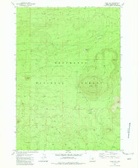
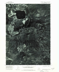
1982 Map of China Hat
USGS Topo · Published 1982About this map
China Hat dominates this high-elevation landscape within the Deschutes National Forest, serving as a prominent volcanic landmark surrounded by a network of cinder pits and lava features. The map illustrates a region defined by its volcanic geology and forestry management during the early 1980s, punctuated by specific sites like the Matz Ice Cave and the volcanic peak of East Butte. Human activity in this wilderness area is marked by the presence of the China Hat Station and its adjacent China Hat Campground, along with a Heliport for logistical support.
Find a feature on this map
21 named features on this map. Tap any name to fly to it.
Don’t see what you’re looking for? This feature index may not catch every label — zoom into the map to look around manually.
Map Details
Editions of this 1982 China Hat Map
This is the sole edition of this map. No revisions or reprints were ever made.
Other maps of this area

1931 · Newberry Crater
USGS Topo · 1:125,000

1935 · Newberry Crater
USGS Topo · 1:125,000

1955 · Crescent
USGS Topo · 1:250,000

1957 · Crescent
USGS Topo · 1:250,000

1958 · Crescent
USGS Topo · 1:250,000
1967 · Evans Well
USGS Topo · 1:24,000
1967 · Fuzztail Butte
USGS Topo · 1:24,000
1967 · Pine Mountain
USGS Topo · 1:24,000

1970 · Crescent
USGS Topo · 1:250,000
1974 · Newberry Crater 4 NW
USGS Topo · 1:24,000