
1969 Map of Chinaberry Canyon
USGS Topo · Published 1972About this map
Pablo Montoya land grant territory dominates this 1969 topographic study, where the landscape is defined by a dense network of erosional drainages. The rugged relief is carved by numerous namesake features including Chinaberry Canyon, Bueyeros Canyon, and Ensinosa Canyon. These deep draws converge toward Medio Creek, which snakes through the central portion of the quadrangle.
Find a feature on this map
35 named features on this map. Tap any name to fly to it.
Don’t see what you’re looking for? This feature index may not catch every label — zoom into the map to look around manually.
Map Details
Editions of this 1969 Chinaberry Canyon Map
This is the sole edition of this map. No revisions or reprints were ever made.
Other maps of this area

1954 · Santa Fe
USGS Topo · 1:250,000

1954 · Tucumcari
USGS Topo · 1:250,000

1958 · Santa Fe
USGS Topo · 1:250,000

1958 · Tucumcari
USGS Topo · 1:250,000

1969 · Salitre Canyon
USGS Topo · 1:24,000
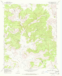
1969 · Alamosa Canyon
USGS Topo · 1:24,000
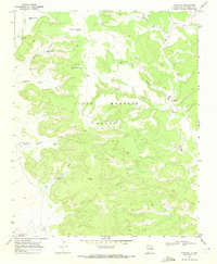
1969 · Campana
USGS Topo · 1:24,000
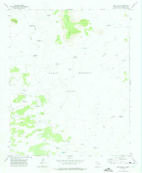
1972 · Bell Ranch
USGS Topo · 1:24,000

1972 · Waggoner Ranch
USGS Topo · 1:24,000

1973 · Mosquero
USGS Topo · 1:24,000