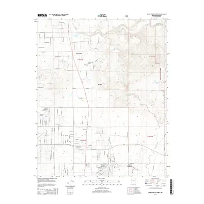
2014 Map of Chino Valley North
USGS Topo · Published 2014About this map
The Verde River originates in this high-desert corridor where the Big Chino Valley and Little Chino Valley meet. This 2014 survey documents a critical hydrological transition point at Sullivan Lake and the nearby Del Rio Springs, features that have historically sustained life in this arid region of Yavapai County. The settlement pattern is defined by the growing residential community of Chino Valley in the south and the established center of Paulden to the north, both linked by a grid of numbered roads such as W Road 3 N and W Road 5 N. To the northeast, the terrain rises toward the volcanic landforms of Malapai Ridge, while the eastern boundary is shaped by the Prescott National Forest. The map also details local water management through features like Boundary Tank and Duck Tank, essential for ranching and forest service in the high plateau.
Find a feature on this map
65 named features on this map. Tap any name to fly to it.
Don’t see what you’re looking for? This feature index may not catch every label — zoom into the map to look around manually.
Map Details
Editions of this 2014 Chino Valley North Map
This is the sole edition of this map. No revisions or reprints were ever made.
Other maps of this area
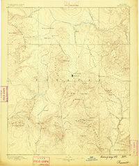
1887 · Prescott
USGS Topo · 1:250,000
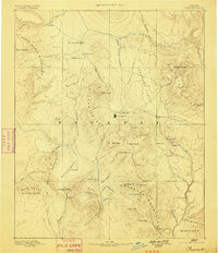
1892 · Prescott
USGS Topo · 1:250,000
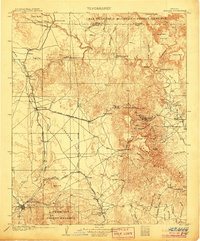
1905 · Jerome
USGS Topo · 1:125,000
1947 · Simmons
USGS Topo · 1:62,500
1947 · Iron Springs
USGS Topo · 1:62,500
1947 · Paulden
USGS Topo · 1:62,500
1947 · Prescott
USGS Topo · 1:62,500
1948 · Iron Springs
USGS Topo · 1:63,360
1948 · Prescott
USGS Topo · 1:62,500
1948 · Simmons
USGS Topo · 1:63,360