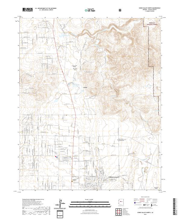
2021 Map of Chino Valley North
USGS Topo · Published 2021About this map
Chino Valley and its northern outskirts are the focal point of this contemporary landscape, where the transition from high-desert basins to volcanic ridges is clearly defined. The area is marked by the confluence of hydrologic features like Sullivan Lake, which serves as the headwaters for the Verde River, and the historic Del Rio Springs. This water network has long supported the region's agricultural identity, now represented by the Yavapai College Agribusiness and Science Technology Center.
Find a feature on this map
74 named features on this map. Tap any name to fly to it.
Don’t see what you’re looking for? This feature index may not catch every label — zoom into the map to look around manually.
Map Details
Editions of this 2021 Chino Valley North Map
This is the sole edition of this map. No revisions or reprints were ever made.
Other maps of this area

1887 · Prescott
USGS Topo · 1:250,000

1892 · Prescott
USGS Topo · 1:250,000

1905 · Jerome
USGS Topo · 1:125,000

1947 · Simmons
USGS Topo · 1:62,500

1947 · Iron Springs
USGS Topo · 1:62,500

1947 · Paulden
USGS Topo · 1:62,500

1947 · Prescott
USGS Topo · 1:62,500

1948 · Iron Springs
USGS Topo · 1:63,360

1948 · Prescott
USGS Topo · 1:62,500

1948 · Simmons
USGS Topo · 1:63,360