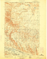
1904 Map of Chinook
USGS Topo · Published 1941About this map
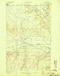
The Milk River valley and its complex irrigation network anchor this northern Montana landscape as surveyed at the turn of the century. The town of Chinook serves as the regional hub, situated where Lodge Creek and Battle Creek meet the valley floor. Agriculture and infrastructure are the primary drivers of settlement here, evidenced by the Great Northern R. R. running parallel to the river and the extensive water engineering seen in the Ft. Belknap Ditch and Paradise Canal. To the south, the Kerrs Coalmine indicates early industrial extraction, while numerous family-named properties like Nelson's Ranch and Ronan's Ranch are scattered across the coulee-scarred terrain. The map also delineates the Ft. Belknap Extension, marking the boundary of tribal lands during a period of significant western development.
Find a feature on this map
27 named features on this map. Tap any name to fly to it.
Don’t see what you’re looking for? This feature index may not catch every label — zoom into the map to look around manually.
Map Details
Editions of this 1904 Chinook Map
2 editions found
Other maps of this area
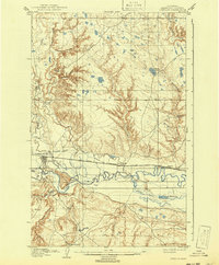
1904 · Yantic
USGS Topo · 1:62,500
1904 · Chinook
USGS Topo · 1:62,500
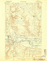
1905 · Harlem
USGS Topo · 1:62,500

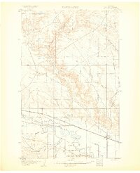
1912 · Zurich
USGS Topo · 1:125,000
1913 · Cherry Ridge
USGS Topo · 1:125,000

1953 · Havre
USGS Topo · 1:250,000
1956 · Lloyd
USGS Topo · 1:62,500
1956 · Cleveland
USGS Topo · 1:62,500

1957 · Havre
USGS Topo · 1:250,000

1958 · Havre
USGS Topo · 1:250,000