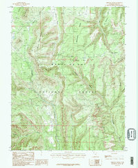
1985 Map of Chippean Rocks
USGS Topo · Published 1985About this map
Manti-La Sal National Forest dominates this mid-1980s landscape, defined by a series of dramatic geological formations and deep drainages. The naming of Mormon Pasture Mountain and the adjacent Mormon Pasture suggests the early influence of LDS settlers in utilizing these high plateaus for grazing. Dramatic verticality is represented by landmarks such as the Seven Sisters Buttes and Maverick Point, while the narrow, elevated land bridge known as The Causeway provides a critical passage between drainage basins. Local water sources like Sand Spring and Posey Creek appear as vital features in this arid environment. The map also records evidence of resource extraction with a lone Mine Shaft located north of Chippean Rocks, indicating small-scale prospecting in a region better known for its topographic complexity than its industrial development.
Find a feature on this map
28 named features on this map. Tap any name to fly to it.
Don’t see what you’re looking for? This feature index may not catch every label — zoom into the map to look around manually.
Map Details
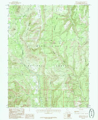
Editions of this 1985 Chippean Rocks Map
2 editions found
Other maps of this area

1886 · Abajo
USGS Topo · 1:250,000

1892 · Abajo
USGS Topo · 1:250,000

1893 · Abajo
USGS Topo · 1:250,000

1935 · Elk Ridge
USGS Topo · 1:96,000

1940 · Elk Ridge
USGS Topo · 1:125,000

1954 · Elk Ridge 4 NW
USGS Topo · 1:24,000

1954 · Elk Ridge 1 SW
USGS Topo · 1:24,000

1954 · Elk Ridge 2 SE
USGS Topo · 1:24,000

1954 · Elk Ridge 1 NW
USGS Topo · 1:24,000

1954 · Elk Ridge 1 NE
USGS Topo · 1:24,000