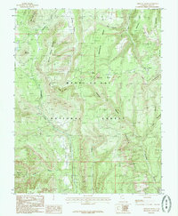
1985 Map of Chippean Rocks
USGS Topo · Published 1985About this map
Manti-La Sal National Forest dominates this mid-1980s terrain, revealing a high-desert landscape defined by intricate canyon systems and high plateaus. The topography is marked by significant geological features such as the Seven Sisters Ruffles and the Reef of Rocks, illustrating the erosion patterns characteristic of San Juan County. Human activity is sparsely documented in this wilderness, though a single Mine Shaft in the northwest and various segments of a Pack Trail suggest historical mineral exploration and livestock movement.
Find a feature on this map
27 named features on this map. Tap any name to fly to it.
Don’t see what you’re looking for? This feature index may not catch every label — zoom into the map to look around manually.
Map Details
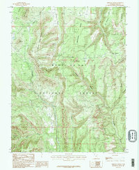
Editions of this 1985 Chippean Rocks Map
2 editions found
Other maps of this area

1886 · Abajo
USGS Topo · 1:250,000

1892 · Abajo
USGS Topo · 1:250,000

1893 · Abajo
USGS Topo · 1:250,000

1935 · Elk Ridge
USGS Topo · 1:96,000

1940 · Elk Ridge
USGS Topo · 1:125,000

1954 · Elk Ridge 4 NW
USGS Topo · 1:24,000

1954 · Elk Ridge 1 SW
USGS Topo · 1:24,000

1954 · Elk Ridge 2 SE
USGS Topo · 1:24,000

1954 · Elk Ridge 1 NW
USGS Topo · 1:24,000

1954 · Elk Ridge 1 NE
USGS Topo · 1:24,000