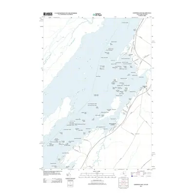
2013 Map of Chippewa Bay
USGS Topo · Published 2013About this map
The Saint Lawrence River dominates this landscape, its waters punctuated by a dense collection of granite outcrops and forested isles. The settlement of Chippewa Bay serves as a focal point along the shoreline, where local travel is defined by narrow routes like Chippewa Point Rd and Indian Point Rd. The map reveals a complex aquatic geography of named hazards and landmarks, including Superior Shoal and Indian Chief Shoal, which have long challenged navigators along this international border region.
Find a feature on this map
125 named features on this map. Tap any name to fly to it.
Don’t see what you’re looking for? This feature index may not catch every label — zoom into the map to look around manually.
Map Details
Editions of this 2013 Chippewa Bay Map
This is the sole edition of this map. No revisions or reprints were ever made.
Other maps of this area

1903 · Alexandria Bay
USGS Topo · 1:62,500

1906 · Brier Hill
USGS Topo · 1:62,500

1912 · Hammond
USGS Topo · 1:62,500

1942 · Morristown
USGS Topo · 1:24,000

1943 · Morristown
USGS Topo · 1:31,680

1943 · Redwood
USGS Topo · 1:31,680

1943 · Alexandria Bay
USGS Topo · 1:31,680

1944 · Hammond
USGS Topo · 1:62,500

1948 · Chippewa Bay
USGS Topo · 1:24,000

1948 · Alexandria Bay
USGS Topo · 1:62,500