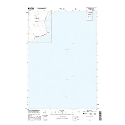
2014 Map of Chippewa Point
USGS Topo · Published 2014About this map
Hiawatha National Forest dominates the northwestern shoreline of this coastal survey, where the terrestrial landscape of Delta County meets the expansive waters of Big Bay de Noc. The geography is defined by its maritime interfaces, most notably at Chippewa Point, which serves as a prominent landform separating the inner bay from the larger reaches of Lake Michigan and Green Bay. Inland, the forest contains specialized hydrological features including Granskog Lake and the smaller Indian Town Lake, connected by drainage systems like Granskog Cr. To the northeast, the isolated Round Island sits offshore, marking the transition into the open waters. This map provides a clear view of the protected coastal wilderness and its natural drainage patterns before modern development significantly altered the lakefront character.
Find a feature on this map
12 named features on this map. Tap any name to fly to it.
Don’t see what you’re looking for? This feature index may not catch every label — zoom into the map to look around manually.
Map Details
Editions of this 2014 Chippewa Point Map
This is the sole edition of this map. No revisions or reprints were ever made.
Other maps of this area
1932 · Burnt Bluff SW
USGS Topo · 1:31,680
1932 · Burnt Bluff NW
USGS Topo · 1:31,680
1932 · Rapid River SE
USGS Topo · 1:31,680
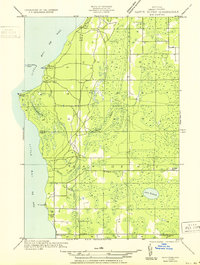
1932 · Rapid River SW
USGS Topo · 1:31,680
1954 · Escanaba
USGS Topo · 1:250,000
1957 · Escanaba
USGS Topo · 1:250,000
1958 · Escanaba
USGS Topo · 1:250,000
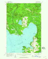
1958 · Garden
USGS Topo · 1:62,500
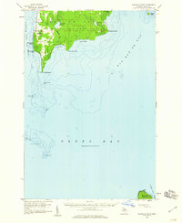
1958 · Peninsula Point
USGS Topo · 1:62,500
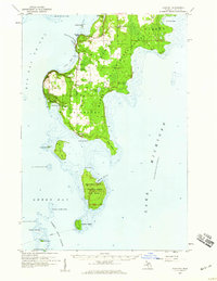
1958 · Fairport
USGS Topo · 1:62,500