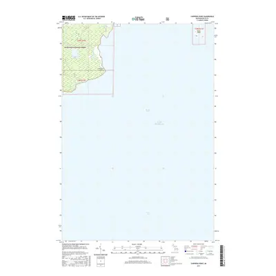
2017 Map of Chippewa Point
USGS Topo · Published 2017About this map
Chippewa Point marks a distinct protrusion into the northern waters of Lake Michigan, where the currents of Big Bay de Noc and Green Bay converge. This coastal landscape within the Hiawatha National Forest is defined by its low-lying hydrology, featuring interior water bodies such as Indian Town Lake and Granskog Lake. The drainage of Granskog Creek illustrates the intricate wetland patterns of this peninsula in Delta County. Farther offshore, Round Island sits isolated in the lake, indicating the maritime hazards and navigational landmarks essential to this stretch of the Upper Peninsula shoreline. The map captures the interface between protected forest lands and the expansive Great Lakes, showing a region largely defined by its natural water features and lack of dense modern development.
Find a feature on this map
11 named features on this map. Tap any name to fly to it.
Don’t see what you’re looking for? This feature index may not catch every label — zoom into the map to look around manually.
Map Details
Editions of this 2017 Chippewa Point Map
This is the sole edition of this map. No revisions or reprints were ever made.
Other maps of this area
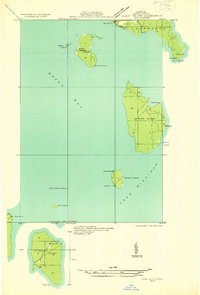
1932 · Burnt Bluff SW
USGS Topo · 1:31,680
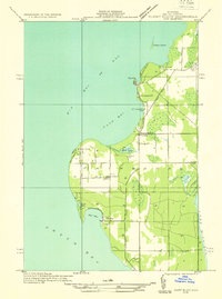
1932 · Burnt Bluff NW
USGS Topo · 1:31,680
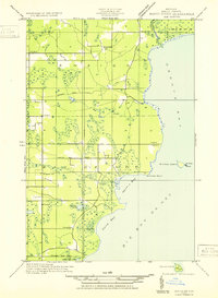
1932 · Rapid River SE
USGS Topo · 1:31,680
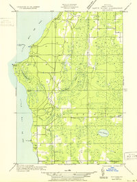
1932 · Rapid River SW
USGS Topo · 1:31,680
1954 · Escanaba
USGS Topo · 1:250,000
1957 · Escanaba
USGS Topo · 1:250,000
1958 · Escanaba
USGS Topo · 1:250,000
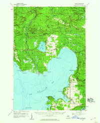
1958 · Garden
USGS Topo · 1:62,500
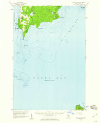
1958 · Peninsula Point
USGS Topo · 1:62,500
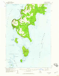
1958 · Fairport
USGS Topo · 1:62,500