
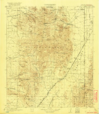
1919 Map of Chiricahua
USGS Topo · Published 1919About this map
Coronado National Forest dominates this landscape, surveyed during the First World War. The terrain is a network of named peaks and canyons, including Chiricahua Pk and Monte Vista Pk, where early administrative presence is marked by the Portal Ranger Sta and Rucker Ranger Sta. Industry is represented by the Hilltop Mine and Cochise Mine in the northern reaches, while the eastern valley floor is defined by the El Paso And Southwestern railroad line connecting the settlements of Rodeo and Apache.
Find a feature on this map
120 named features on this map. Tap any name to fly to it.
Don’t see what you’re looking for? This feature index may not catch every label — zoom into the map to look around manually.
Map Details
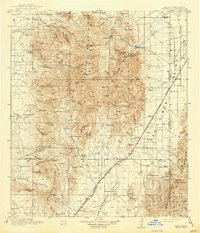
Editions of this 1919 Chiricahua Map
3 editions found
Other maps of this area

1914 · Douglas
USGS Topo · 1:62,500

1916 · Pearce
USGS Topo · 1:125,000

1916 · Douglas
USGS Topo · 1:125,000

1917 · San Simon
USGS Topo · 1:125,000

1917 · Chiricahua
USGS Topo · 1:125,000

1918 · Cienega Springs
USGS Topo · 1:62,500

1918 · Animas Peak
USGS Topo · 1:62,500

1918 · Pratt
USGS Topo · 1:62,500

1919 · Pratt
USGS Topo · 1:62,500

1919 · Douglas
USGS Topo · 1:125,000