2024 Map of Chittenden
USGS Topo · Published 2024About this map
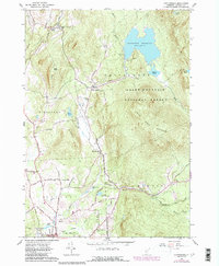
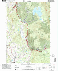
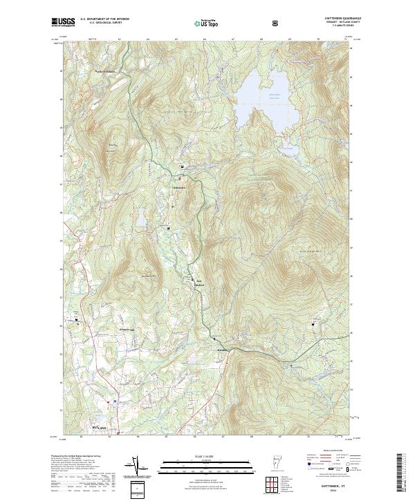
The Dwight D Eisenhower National Fish Hatchery and the vast Green Mountain National Forest dominate this portrait of Vermont's high country. The map details a landscape defined by significant water management and conservation, featuring the sprawling Chittenden Reservoir and the Rutland City Reservoir further south. These artificial water bodies, along with smaller features like Lefferts Pond and Patch Pond, illustrate the region's historical and contemporary role in resource management for the surrounding valley.
Find a feature on this map
97 named features on this map. Tap any name to fly to it.
Don’t see what you’re looking for? This feature index may not catch every label — zoom into the map to look around manually.
Map Details
Editions of this 2024 Chittenden Map
This is the sole edition of this map. No revisions or reprints were ever made.
Historical Maps of Colonial Estates Through Time
3 maps found