
1944 Map of Proctor
USGS Topo · Published 1944About this map
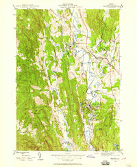
Otter Creek meanders through the central valley of this mid-century Vermont landscape, serving as a primary corridor for the Rutland and Clarendon and Pittsford railroad. The settlement of Proctor sits at a critical bend in the river, surrounded by water features like Beaver Pond and Olympus Pool. This 1944 survey illustrates a deeply established social infrastructure, marked by the Vermont Sanatorium and multiple local schools including Goodnough Sch, Furnace Sch, and Whipple Hollow Sch.
Find a feature on this map
32 named features on this map. Tap any name to fly to it.
Don’t see what you’re looking for? This feature index may not catch every label — zoom into the map to look around manually.
Map Details
Editions of this 1944 Proctor Map
3 editions found
Other maps of this area

1891 · Rutland
USGS Topo · 1:62,500

1893 · Rutland
USGS Topo · 1:62,500

1895 · Castleton
USGS Topo · 1:62,500

1897 · Castleton
USGS Topo · 1:62,500

1902 · Brandon
USGS Topo · 1:62,500

1904 · Brandon
USGS Topo · 1:62,500

1915 · Rochester
USGS Topo · 1:62,500

1917 · Rochester
USGS Topo · 1:62,500

1920 · Brandon
USGS Topo · 1:62,500
1944 · Bomoseen
USGS Topo · 1:31,680