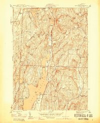
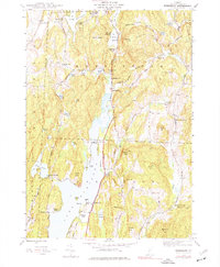
1944 Map of Bomoseen
USGS Topo · Published 1944About this map
Lake Bomoseen dominates this 1944 topographic survey of Vermont, showing a landscape defined by seasonal lakefront life and deep-rooted agricultural townships. The water-rich area includes several distinct settlements such as Hortonville, West Castleton, and the village of Hubbardton. The shoreline of the lake itself is dotted with recreational landmarks like Crystal Beach, Avalon Beach, and Neshope Beach, while further north, several camps like Camp Awanee and Eagle Rock Camp suggest the area's mid-century role as a summer destination. Beyond the lakeshore, the map preserves the locations of local educational and religious hubs that served the rural population, including the Turnpike Sch, North Brittain Sch, and St Matthews Ch. Prominent ridges like Wallace Ledge and Sargent Hill overlook a network of roads like Monument Road, marking the transition from the valley floor to the upland terrain of Rutland County.
Find a feature on this map
57 named features on this map. Tap any name to fly to it.
Don’t see what you’re looking for? This feature index may not catch every label — zoom into the map to look around manually.
Map Details
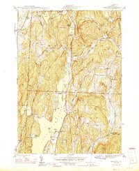
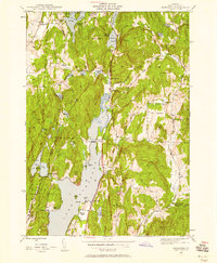
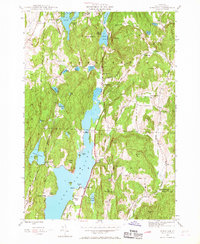
Editions of this 1944 Bomoseen Map
5 editions found
Other maps of this area

1893 · Whitehall
USGS Topo · 1:62,500

1894 · Ticonderoga
USGS Topo · 1:62,500

1895 · Whitehall
USGS Topo · 1:62,500

1895 · Castleton
USGS Topo · 1:62,500

1896 · Ticonderoga
USGS Topo · 1:62,500

1897 · Castleton
USGS Topo · 1:62,500

1898 · Whitehall
USGS Topo · 1:62,500

1902 · Whitehall
USGS Topo · 1:62,500

1902 · Ticonderoga
USGS Topo · 1:62,500

1902 · Brandon
USGS Topo · 1:62,500