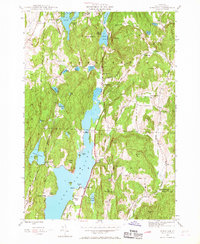
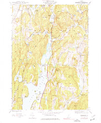
1944 Map of Bomoseen
USGS Topo · Published 1968About this map
The expansive waters of Lake Bomoseen dominate this Rutland County landscape, reflecting the established recreational and agricultural character of mid-century Vermont. The map details a network of summer retreats like Beechwood Camp and Camp Awanee, alongside year-round settlements such as Hortonville and Hubbardton. The shoreline is heavily marked with local landmarks, from Crystal Beach and Avalon Beach to the secluded Neshobe Island.
Find a feature on this map
68 named features on this map. Tap any name to fly to it.
Don’t see what you’re looking for? This feature index may not catch every label — zoom into the map to look around manually.
Map Details
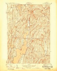
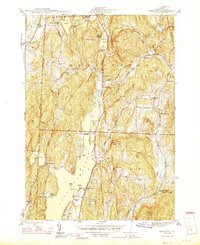
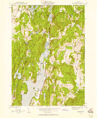
Editions of this 1944 Bomoseen Map
5 editions found
Other maps of this area

1893 · Whitehall
USGS Topo · 1:62,500

1894 · Ticonderoga
USGS Topo · 1:62,500

1895 · Whitehall
USGS Topo · 1:62,500

1895 · Castleton
USGS Topo · 1:62,500

1896 · Ticonderoga
USGS Topo · 1:62,500

1897 · Castleton
USGS Topo · 1:62,500

1898 · Whitehall
USGS Topo · 1:62,500

1902 · Whitehall
USGS Topo · 1:62,500

1902 · Ticonderoga
USGS Topo · 1:62,500

1902 · Brandon
USGS Topo · 1:62,500