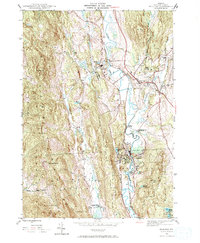
1944 Map of Proctor
USGS Topo · Published 1972About this map
Otter Creek meanders through the central valley of this Rutland County landscape, anchoring a corridor of industry and infrastructure during the mid-1940s. The Rutland railroad line follows the watercourse closely, connecting the marble-quarrying center of Proctor with Pittsford and the hamlet of Florence. This industrial backbone is contrasted by the steep relief of the surrounding terrain, where prominent peaks like Grandpa Knob and Biddie Knob define the western boundaries.
Find a feature on this map
34 named features on this map. Tap any name to fly to it.
Don’t see what you’re looking for? This feature index may not catch every label — zoom into the map to look around manually.
Map Details
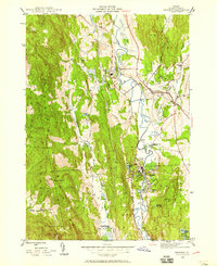
Editions of this 1944 Proctor Map
3 editions found
Other maps of this area

1891 · Rutland
USGS Topo · 1:62,500

1893 · Rutland
USGS Topo · 1:62,500

1895 · Castleton
USGS Topo · 1:62,500

1897 · Castleton
USGS Topo · 1:62,500

1902 · Brandon
USGS Topo · 1:62,500

1904 · Brandon
USGS Topo · 1:62,500

1915 · Rochester
USGS Topo · 1:62,500

1917 · Rochester
USGS Topo · 1:62,500

1920 · Brandon
USGS Topo · 1:62,500

1944 · Proctor
USGS Topo · 1:31,680