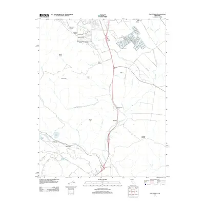
2012 Map of Chittenden
USGS Topo · Published 2012About this map
Old Gilroy and the agricultural lands of the lower Santa Clara Valley appear in high detail during the early 21st century. The landscape is defined by the convergence of major waterways, including the Pajaro River, Llagas Cr, and the San Benito River, which have historically shaped the settlement patterns of this corridor. Small communities such as Carnadero, Miller, and Sargent are situated along the transit routes between the valley and the coast.
Find a feature on this map
66 named features on this map. Tap any name to fly to it.
Don’t see what you’re looking for? This feature index may not catch every label — zoom into the map to look around manually.
Map Details
Editions of this 2012 Chittenden Map
This is the sole edition of this map. No revisions or reprints were ever made.
Other maps of this area

1915 · San Juan Bautista
USGS Topo · 1:48,000

1917 · Morgan Hill
USGS Topo · 1:62,500

1917 · San Juan Bautista
USGS Topo · 1:62,500

1919 · Hollister
USGS Topo · 1:48,000

1921 · Gilroy Hot Springs
USGS Topo · 1:62,500

1921 · Hollister
USGS Topo · 1:62,500

1923 · Hollister
USGS Topo · 1:62,500

1939 · Morgan Hill
USGS Topo · 1:62,500

1939 · Gilroy Hot Springs
USGS Topo · 1:62,500

1939 · San Juan Bautista
USGS Topo · 1:62,500