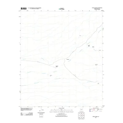
2011 Map of Chiuli Shaik
USGS Topo · Published 2011About this map
Chiuli Shaik and the surrounding desert floor of Pima County are defined by a complex network of seasonal drainages and small settlements. The landscape is carved by the Mulberry Wash, Fresnal Wash, Topawa Wash, and Baboquivari Wash, which dictate the placement of local infrastructure like Indian Rte 10. These washes signify the critical role of water management in this arid region, where even small elevations like Fresnal Hill provide orientation points across the basin.
Find a feature on this map
15 named features on this map. Tap any name to fly to it.
Don’t see what you’re looking for? This feature index may not catch every label — zoom into the map to look around manually.
Map Details
Editions of this 2011 Chiuli Shaik Map
This is the sole edition of this map. No revisions or reprints were ever made.
Other maps of this area

1941 · Presumido Peak
USGS Topo · 1:62,500

1941 · Baboquivari Peak
USGS Topo · 1:62,500

1941 · Vamori
USGS Topo · 1:62,500

1941 · Sells
USGS Topo · 1:62,500

1943 · Sells
USGS Topo · 1:62,500

1943 · Fresnal
USGS Topo · 1:125,000

1943 · Presumido Peak
USGS Topo · 1:62,500

1943 · Vamori
USGS Topo · 1:62,500

1944 · Baboquivari Peak
USGS Topo · 1:62,500

1956 · Nogales
USGS Topo · 1:250,000