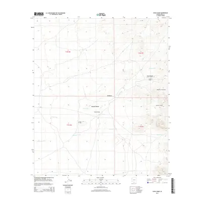
2014 Map of Chiuli Shaik
USGS Topo · Published 2014About this map
Chiuli Shaik and Pitoikam sit within a landscape defined by the drainage patterns of the Baboquivari Mountains and the Wasatch Range. This 2014 survey captures the complex network of ephemeral waterways, including Fresnal Wash, Topawa Wash, and Baboquivari Wash, which dictate the topography of this region in Pima County. The map provides a clear look at the intersection of natural features like Fresnal Hill and Sycamore Canyon with the established route of Bia-10. Local landmarks such as Kahachi Miliuk are positioned against a backdrop of deep canyons and seasonal washes, illustrating how the geography influences the placement of small settlements and transportation corridors. The detailed contouring reveals the transition from the high peaks of the Baboquivari Mountains down through Fresnal Canyon and out toward the alluvial plains of the western desert.
Find a feature on this map
17 named features on this map. Tap any name to fly to it.
Don’t see what you’re looking for? This feature index may not catch every label — zoom into the map to look around manually.
Map Details
Editions of this 2014 Chiuli Shaik Map
This is the sole edition of this map. No revisions or reprints were ever made.
Other maps of this area
1941 · Presumido Peak
USGS Topo · 1:62,500
1941 · Baboquivari Peak
USGS Topo · 1:62,500
1941 · Vamori
USGS Topo · 1:62,500
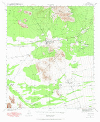
1941 · Sells
USGS Topo · 1:62,500
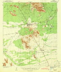
1943 · Sells
USGS Topo · 1:62,500
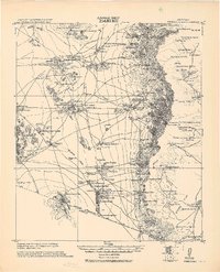
1943 · Fresnal
USGS Topo · 1:125,000
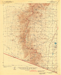
1943 · Presumido Peak
USGS Topo · 1:62,500
1943 · Vamori
USGS Topo · 1:62,500
1944 · Baboquivari Peak
USGS Topo · 1:62,500
1956 · Nogales
USGS Topo · 1:250,000