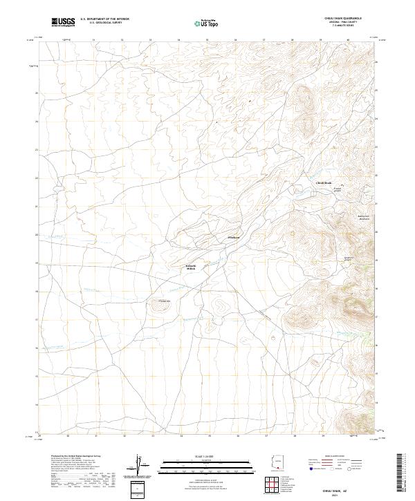
2021 Map of Chiuli Shaik
USGS Topo · Published 2021About this map
Chiuli Shaik and the smaller settlements of Pitoikam and Kahachi Miliuk anchor this landscape in the eastern foothills of the Baboquivari Mountains. The geography is defined by a dense network of seasonal drainages, including Mulberry Wash, Fresnal Wash, and the prominent Baboquivari Wash, which carve through the arid terrain. The drainage patterns from Fresnal Canyon and Sycamore Canyon illustrate the complex watershed system of the Pima County desert. Notable elevations like Fresnal Hill rise above the alluvial plains, while the Foothill Truck Trl provides a glimpse into the limited backcountry transportation network of the early 21st century. This survey documents the intersection of Tohono O'odham Nation lands and the high desert environment, showing a landscape where water and topography dictate the placement of human habitation.
Find a feature on this map
16 named features on this map. Tap any name to fly to it.
Don’t see what you’re looking for? This feature index may not catch every label — zoom into the map to look around manually.
Map Details
Editions of this 2021 Chiuli Shaik Map
This is the sole edition of this map. No revisions or reprints were ever made.
Other maps of this area

1941 · Presumido Peak
USGS Topo · 1:62,500

1941 · Baboquivari Peak
USGS Topo · 1:62,500

1941 · Vamori
USGS Topo · 1:62,500

1941 · Sells
USGS Topo · 1:62,500

1943 · Sells
USGS Topo · 1:62,500

1943 · Fresnal
USGS Topo · 1:125,000

1943 · Presumido Peak
USGS Topo · 1:62,500

1943 · Vamori
USGS Topo · 1:62,500

1944 · Baboquivari Peak
USGS Topo · 1:62,500

1956 · Nogales
USGS Topo · 1:250,000