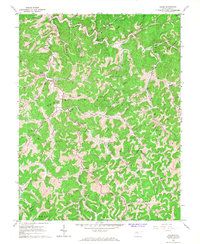
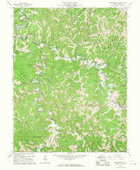
1966 Map of Chloe
USGS Topo · Published 1968This historical map portrays the area of Chloe in 1966, primarily covering Calhoun County as well as portions of Roane County, Braxton County, Clay County, and Gilmer County. Featuring a scale of 1:24000, this map provides a highly detailed snapshot of the terrain, roads, buildings, counties, and historical landmarks in the Chloe region at the time. Published in 1968, it is one of 2 known editions of this map due to revisions or reprints.
Find a feature on this map
52 named features on this map. Tap any name to fly to it.
Don’t see what you’re looking for? This feature index may not catch every label — zoom into the map to look around manually.
Map Details
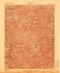
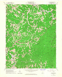
Editions of this 1966 Chloe Map
2 editions found
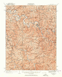
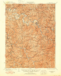
Historical Maps of Braxton County Through Time
11 maps found
1907 Arnoldsburg
Calhoun County, WV
1925 Arnoldsburg
Calhoun County, WV
1927 Arnoldsburg
Calhoun County, WV
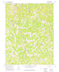
1965 Arnoldsburg
Calhoun County, WV
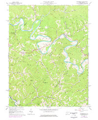
1965 Millstone
Calhoun County, WV
1966 Annamoriah
Calhoun County, WV
1966 Chloe
Calhoun County, WV
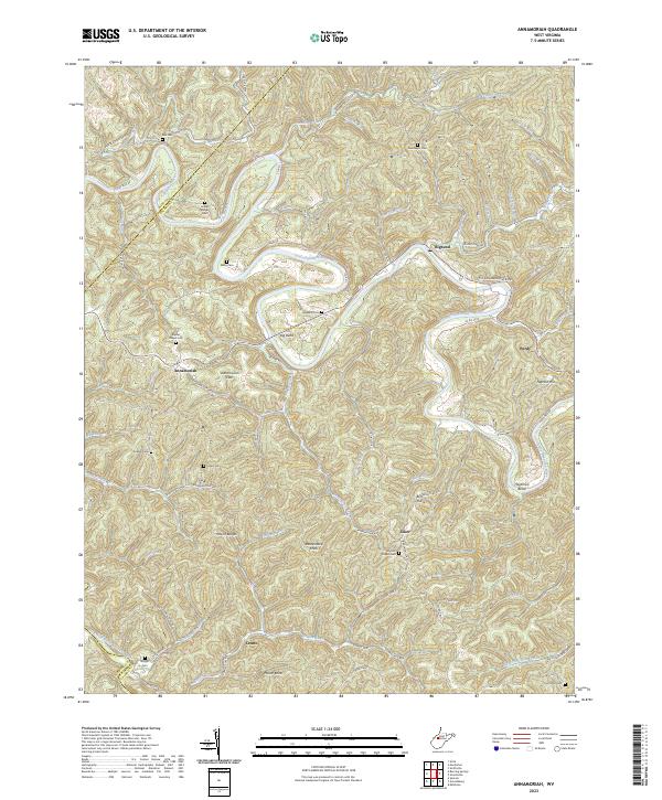
2023 Annamoriah
Calhoun County, WV
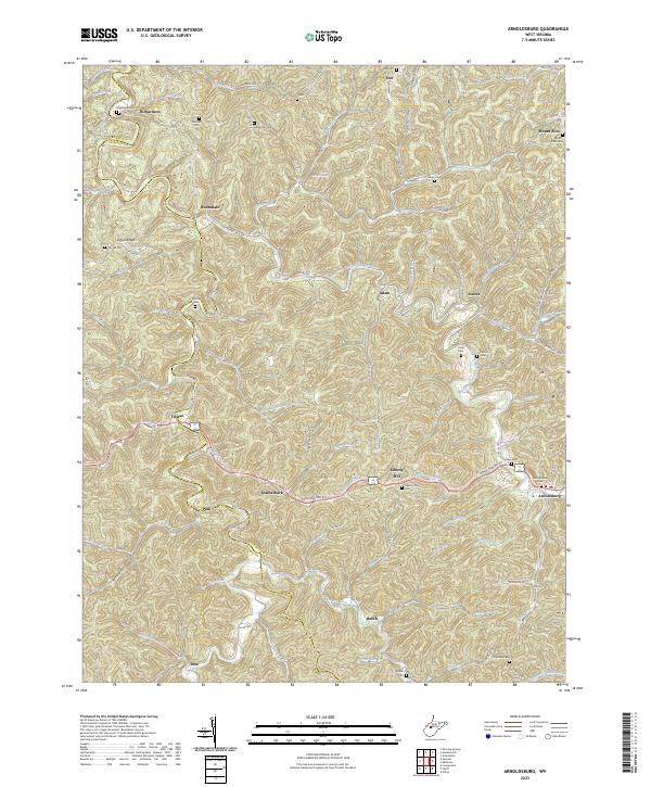
2023 Arnoldsburg
Calhoun County, WV
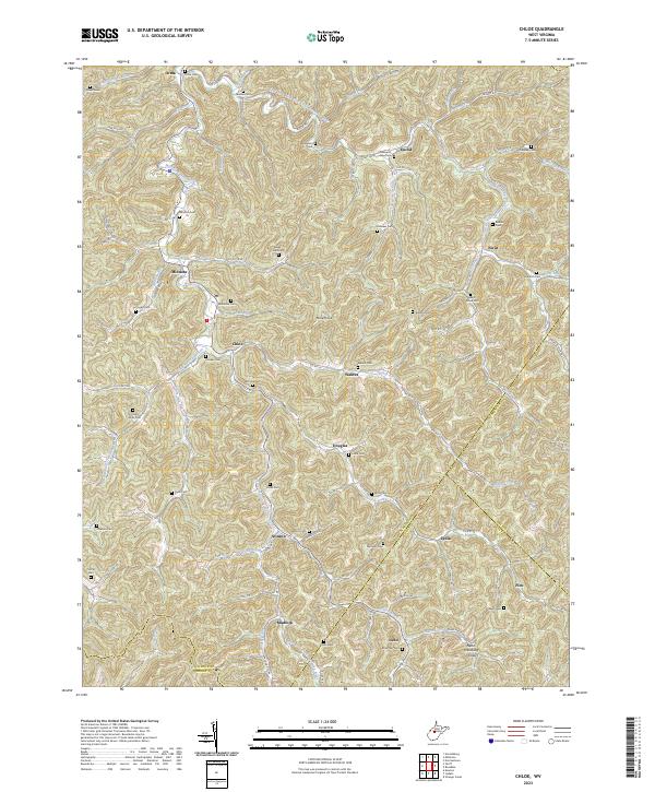
2023 Chloe
Calhoun County, WV
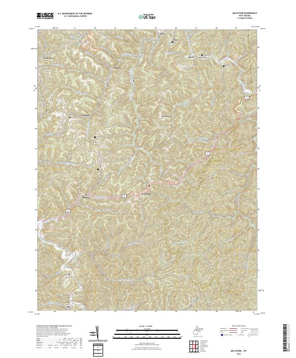
2023 Millstone
Calhoun County, WV