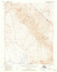
1952 Map of Chloride Cliff
USGS Topo · Published 1959About this map
Chloride Cliff towers over the stark landscape of the Funeral Mountains, marking a region defined by high-desert mining and early park administration during the mid-20th century. This 1952 field survey captures the isolated Chloride City and the Keane Wonder Mine (Abandoned), which reflect the area's hard-rock mining legacy. The transition from extraction to conservation is evident with the presence of the National Park Service Hdqrs and Park Village near the base of the range.
Find a feature on this map
37 named features on this map. Tap any name to fly to it.
Don’t see what you’re looking for? This feature index may not catch every label — zoom into the map to look around manually.
Map Details
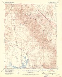
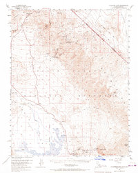
Editions of this 1952 Chloride Cliff Map
4 editions found
Other maps of this area

1908 · Furnace Creek
USGS Topo · 1:250,000

1908 · Ballarat
USGS Topo · 1:250,000

1910 · Furnace Creek
USGS Topo · 1:250,000

1913 · Ballarat
USGS Topo · 1:250,000

1942 · Bullfrog
USGS Topo · 1:125,000

1948 · Death Valley
USGS Topo · 1:250,000

1952 · Chloride Cliff
USGS Topo · 1:50,000

1952 · Stovepipe Wells
USGS Topo · 1:62,500

1952 · Furnace Creek
USGS Topo · 1:62,500

1952 · Ryan
USGS Topo · 1:62,500