
1952 Map of Chloride Cliff
USGS Topo · Published 1952About this map
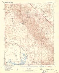
Chloride City and its industrial remains anchor the high desert slopes in this early 1950s survey of the eastern Death Valley National Monument borderlands. The map documents the persistent infrastructure of gold and silver extraction, noting the Keane Wonder Mine and the nearby Keane Wonder Mill along the western escarpment of the Grapevine Mountains. These sites, along with the Monarch Mine, trace a history of remote mining operations that depended on scattered water sources like Keane Spring and Hole-in-the-Rock Spring.
Find a feature on this map
29 named features on this map. Tap any name to fly to it.
Don’t see what you’re looking for? This feature index may not catch every label — zoom into the map to look around manually.
Map Details
Editions of this 1952 Chloride Cliff Map
4 editions found
Other maps of this area

1908 · Furnace Creek
USGS Topo · 1:250,000

1908 · Ballarat
USGS Topo · 1:250,000

1910 · Furnace Creek
USGS Topo · 1:250,000

1913 · Ballarat
USGS Topo · 1:250,000

1942 · Bullfrog
USGS Topo · 1:125,000

1948 · Death Valley
USGS Topo · 1:250,000

1952 · Stovepipe Wells
USGS Topo · 1:62,500

1952 · Furnace Creek
USGS Topo · 1:62,500

1952 · Ryan
USGS Topo · 1:62,500

1952 · Emigrant Canyon
USGS Topo · 1:62,500