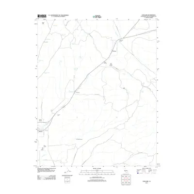
2012 Map of Cholame
USGS Topo · Published 2012About this map
The Cholame Valley serves as a central corridor for this part of the California Coast Ranges, where the confluence of rural ranching life and rugged geology is clearly documented. The settlement of Cholame sits at a junction of regional importance, surrounded by historically significant properties such as Ludeke Ranch, Taylor Ranch, and Jack Ranch. To the southwest, the town of Shandon marks a transition toward the San Juan Valley, with the Shandon Cem providing a grounded point of interest for genealogists tracing local families. The landscape is defined by its water sources, including numerous named springs like Adobe Springs and Cement Trough Spring that sustain livestock in an arid climate. Drainage patterns through White Canyon and along Cholame Cr illustrate the natural topography that has influenced land use from the Eagle Hills to Cormack Canyon.
Find a feature on this map
42 named features on this map. Tap any name to fly to it.
Don’t see what you’re looking for? This feature index may not catch every label — zoom into the map to look around manually.
Map Details
Editions of this 2012 Cholame Map
This is the sole edition of this map. No revisions or reprints were ever made.
Other maps of this area

1914 · Cholame
USGS Topo · 1:125,000

1915 · Cholame
USGS Topo · 1:125,000

1917 · Cholame
USGS Topo · 1:125,000

1942 · Tent Hills
USGS Topo · 1:24,000

1943 · Grant Lake
USGS Topo · 1:31,680

1943 · Shandon
USGS Topo · 1:31,680

1943 · Commatti Canyon
USGS Topo · 1:31,680
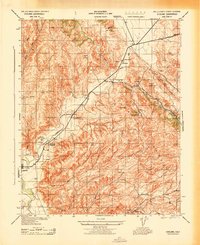
1943 · Cholame
USGS Topo · 1:31,680
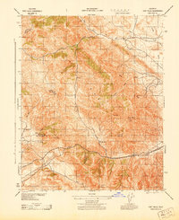
1943 · Tent Hills
USGS Topo · 1:31,680

1943 · Shedd Canyon
USGS Topo · 1:31,680