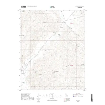
2018 Map of Cholame
USGS Topo · Published 2018About this map
The San Andreas Fault cuts a visible path through this portion of San Luis Obispo County, marking the transition between the Cholame Hills and the Cholame Valley. The small settlement of Cholame sits at the junction of critical local routes, including Davis Rd, while the town of Shandon occupies the southwest corner of the map. Significant water management is evident in the presence of the Governor Edmund G Brown Coastal Br California Aqueduct, which traverses the San Juan Valley alongside the winding San Juan Cr. For those researching local families, the Shandon Cem is located just north of the town site along Cemetary Rd. The landscape is further defined by numerous named canyons such as McMillan Canyon, Palo Prieto Canyon, and Hopper Canyon, which drain the uplands toward the central valleys.
Find a feature on this map
58 named features on this map. Tap any name to fly to it.
Don’t see what you’re looking for? This feature index may not catch every label — zoom into the map to look around manually.
Map Details
Editions of this 2018 Cholame Map
This is the sole edition of this map. No revisions or reprints were ever made.
Other maps of this area

1914 · Cholame
USGS Topo · 1:125,000

1915 · Cholame
USGS Topo · 1:125,000

1917 · Cholame
USGS Topo · 1:125,000

1942 · Tent Hills
USGS Topo · 1:24,000

1943 · Grant Lake
USGS Topo · 1:31,680

1943 · Shandon
USGS Topo · 1:31,680

1943 · Commatti Canyon
USGS Topo · 1:31,680
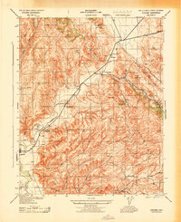
1943 · Cholame
USGS Topo · 1:31,680
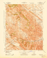
1943 · Tent Hills
USGS Topo · 1:31,680

1943 · Shedd Canyon
USGS Topo · 1:31,680