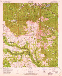
1954 Map of Chopin
USGS Topo · Published 1959About this map
The Cane River flows along the northern edge of this Louisiana landscape, where the Texas & Pacific RR connects the riverside settlements of Chopin and Galbraith. This mid-century survey reveals a transition from the river valley into the timber-heavy terrain of the Kisatchie National Forest and the Dough Hills. A complex network of log transport is evident in the presence of dismantled railroads and several logging camps, including Zimmerman Camp. Local history and genealogy are well-represented by a variety of family and community landmarks, from the Mors School and Spanish Branch Church to isolated burial grounds like Calvert Cem and Knight Cem. The map captures the rural structure of the region just before significant changes in local infrastructure, noting several settlements like Flatwoods and Gorum situated along the boundary of the Natchitoches Parish and Rapides Parish line.
Find a feature on this map
80 named features on this map. Tap any name to fly to it.
Don’t see what you’re looking for? This feature index may not catch every label — zoom into the map to look around manually.
Map Details
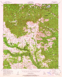
Editions of this 1954 Chopin Map
2 editions found
Other maps of this area

1932 · Boyce SW
USGS Topo · 1:31,680

1932 · Colfax SW
USGS Topo · 1:31,680

1936 · Colfax
USGS Topo · 1:62,500

1937 · Chopin NE
USGS Topo · 1:31,680

1937 · Chopin SW
USGS Topo · 1:31,680

1937 · Chopin NW
USGS Topo · 1:31,680

1937 · Aloha
USGS Topo · 1:31,680

1937 · Montgomery
USGS Topo · 1:62,500

1937 · Chopin SE
USGS Topo · 1:31,680

1937 · Cloutierville
USGS Topo · 1:31,680