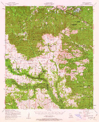
1954 Map of Chopin
USGS Topo · Published 1963About this map
Cane River and the Texas and Pacific railroad corridor anchor this mid-century survey of the central Louisiana timberlands. The landscape transitions from the river bottomlands near Chopin and Galbraith into the dense tracts of the Kisatchie National Forest. A network of logging camps and rural hamlets, such as Zimmerman Camp, Burnstown, and Temple, reflects an economy deeply tied to the forest and the rail.
Find a feature on this map
69 named features on this map. Tap any name to fly to it.
Don’t see what you’re looking for? This feature index may not catch every label — zoom into the map to look around manually.
Map Details
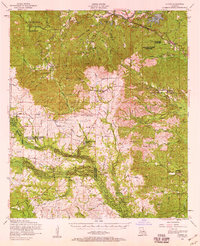
Editions of this 1954 Chopin Map
2 editions found
Other maps of this area

1932 · Boyce SW
USGS Topo · 1:31,680

1932 · Colfax SW
USGS Topo · 1:31,680

1936 · Colfax
USGS Topo · 1:62,500

1937 · Chopin NE
USGS Topo · 1:31,680

1937 · Chopin SW
USGS Topo · 1:31,680

1937 · Chopin NW
USGS Topo · 1:31,680

1937 · Aloha
USGS Topo · 1:31,680

1937 · Montgomery
USGS Topo · 1:62,500

1937 · Chopin SE
USGS Topo · 1:31,680

1937 · Cloutierville
USGS Topo · 1:31,680