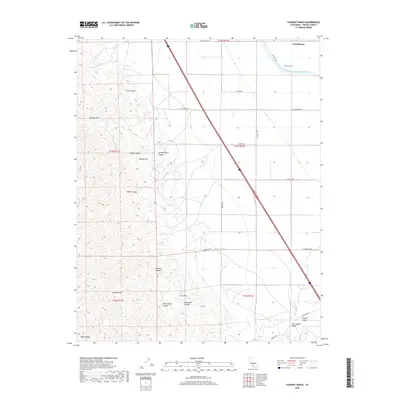
2018 Map of Chounet Ranch
USGS Topo · Published 2018About this map
Chounet Ranch and Wood Ranch anchor the northern reaches of this landscape where the flat expanse of the San Joaquin Valley meets the rising elevations of the Diablo Range. The transition between the irrigated agricultural grid and the dissected uplands is sharp, marked by the massive engineering of the Governor Edmund G Brown California Aqueduct as it cuts across the valley floor. To the west, the Panoche Hills are defined by a complex drainage system including Gres Canyon, Marca Canyon, and the deeply incised Dosados Canyon. The southeastern corner reveals the opening of the Central Valley along Panoche Cr, illustrating the vital connection between the seasonal runoff from peaks like Nonada Hill and the productive basin below.
Find a feature on this map
33 named features on this map. Tap any name to fly to it.
Don’t see what you’re looking for? This feature index may not catch every label — zoom into the map to look around manually.
Map Details
Editions of this 2018 Chounet Ranch Map
This is the sole edition of this map. No revisions or reprints were ever made.
Other maps of this area
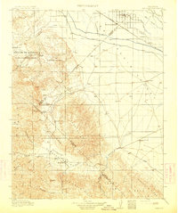
1913 · Panoche
USGS Topo · 1:125,000
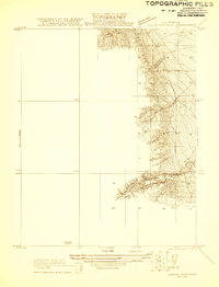
1921 · Laguna Seca Ranch
USGS Topo · 1:31,680
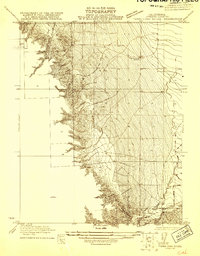
1921 · Tierra Loma School
USGS Topo · 1:31,680
1922 · Chaney Ranch
USGS Topo · 1:31,680
1923 · Laguna Seca Ranch
USGS Topo · 1:31,680
1923 · Wisdom Well
USGS Topo · 1:31,680
1923 · Tierra Loma School
USGS Topo · 1:31,680
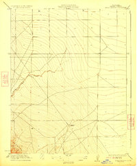
1923 · Little Panoche
USGS Topo · 1:31,680
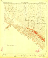
1923 · Monocline Ridge
USGS Topo · 1:31,680
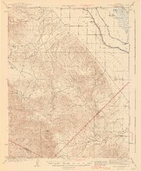
1943 · Ortigalita Peak
USGS Topo · 1:62,500