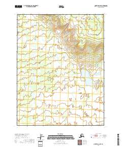
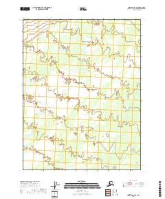
2018 Map of Christian A-2 NW
USGS Topo · Published 2018About this map
The Yukon-Koyukuk Census Area is represented here in a survey primarily defined by its hydrography and public land grid system. The landscape is marked by a complex network of seasonal drainage and wetlands, illustrating the hydrology of this interior Alaskan region. Surveyed boundaries for T28n R13e and T27n R13e partition the area into standard sections, though the terrain remains largely undeveloped without named settlements or established road networks. The intricate contour work provided by the National Elevation Dataset highlights the subtle topographic variations across the flats and low-lying rises that characterize this portion of the Christian quadrangle.
Find a feature on this map
5 named features on this map. Tap any name to fly to it.
Don’t see what you’re looking for? This feature index may not catch every label — zoom into the map to look around manually.
Map Details
Editions of this 2018 Christian A-2 NW Map
This is the sole edition of this map. No revisions or reprints were ever made.
Other maps of this area

1951 · Christian
USGS Topo · 1:250,000

1956 · Christian
USGS Topo · 1:250,000
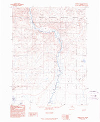
1990 · Christian B-3
USGS Topo · 1:63,360
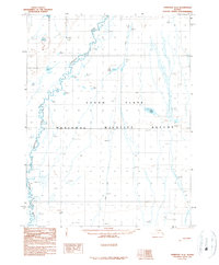
1990 · Christian A-3
USGS Topo · 1:63,360
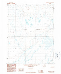
1990 · Christian A-2
USGS Topo · 1:63,360
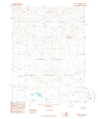
1990 · Christian B-2
USGS Topo · 1:63,360
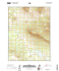
2018 · Christian B-2 SW
USGS Topo · 1:25,000
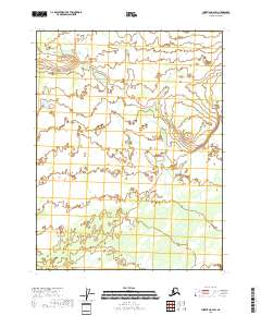
2018 · Christian A-2 SW
USGS Topo · 1:25,000
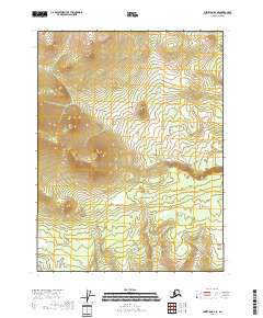
2018 · Christian B-2 SE
USGS Topo · 1:25,000
2018 · Christian A-2 SE
USGS Topo · 1:25,000