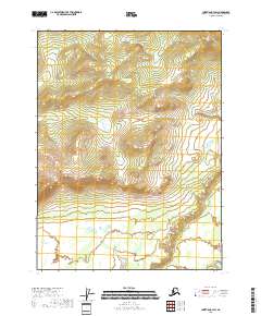
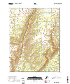
2018 Map of Christian B-3 SW
USGS Topo · Published 2018About this map
Christian River meanders across the southeastern corner of this terrain in the Yukon-Koyukuk Census Area, marking a distinct shift from the upland slopes to the north. The landscape is defined by the transition between the high ridges of the Brooks Range foothills and the lower wetlands of the river basin. In the southwestern corner, Flooded Lake sits as a primary hydrological feature within the broader drainage system. This survey represents the region during the late 2010s, tracing the natural topography through the Public Land Survey System grids of t28n r10e, t28n r11e, t29n r10e, and t29n r11e. The map serves as a record of the drainage patterns and elevation profiles of this interior Alaskan wilderness before further environmental shifts.
Find a feature on this map
6 named features on this map. Tap any name to fly to it.
Don’t see what you’re looking for? This feature index may not catch every label — zoom into the map to look around manually.
Map Details
Editions of this 2018 Christian B-3 SW Map
This is the sole edition of this map. No revisions or reprints were ever made.
Other maps of this area

1951 · Christian
USGS Topo · 1:250,000

1956 · Christian
USGS Topo · 1:250,000
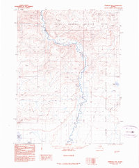
1990 · Christian B-3
USGS Topo · 1:63,360
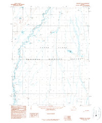
1990 · Christian A-3
USGS Topo · 1:63,360
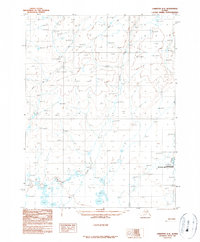
1990 · Christian A-4
USGS Topo · 1:63,360
1990 · Christian B-4
USGS Topo · 1:63,360
2018 · Christian A-3 NE
USGS Topo · 1:25,000
2018 · Christian B-3 SE
USGS Topo · 1:25,000
2018 · Christian B-3 NW
USGS Topo · 1:25,000
2018 · Christian A-4 NE
USGS Topo · 1:25,000