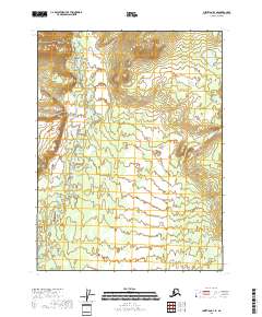
2018 Map of Christian B-3 SE
USGS Topo · Published 2018About this map
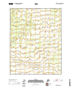
The Christian settlement sits at the northern edge of this remote Arctic interior landscape, serving as a focal point for the region's hydrography. The area is defined by the winding course of the Christian River, which meanders extensively across the central and southern portions of the terrain. The river's path is characterized by numerous oxbows and abandoned channels, typical of a mature subarctic drainage system. In the northeast corner, Square Lake appears as a prominent body of water, contrasting with the smaller, unnamed ponds scattered throughout the wetland-rich flats. This 2018 survey reveals a landscape largely devoid of modern road infrastructure, emphasizing a reliance on natural waterways for movement through the Yukon-Koyukuk region.
Find a feature on this map
7 named features on this map. Tap any name to fly to it.
Don’t see what you’re looking for? This feature index may not catch every label — zoom into the map to look around manually.
Map Details
Editions of this 2018 Christian B-3 SE Map
This is the sole edition of this map. No revisions or reprints were ever made.
Other maps of this area

1951 · Christian
USGS Topo · 1:250,000

1956 · Christian
USGS Topo · 1:250,000
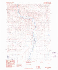
1990 · Christian B-3
USGS Topo · 1:63,360
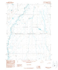
1990 · Christian A-3
USGS Topo · 1:63,360
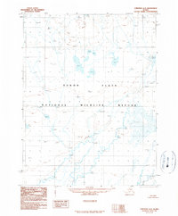
1990 · Christian A-2
USGS Topo · 1:63,360
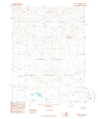
1990 · Christian B-2
USGS Topo · 1:63,360
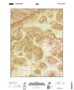
2018 · Christian B-2 NW
USGS Topo · 1:25,000
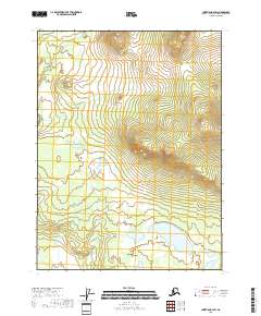
2018 · Christian B-2 SW
USGS Topo · 1:25,000
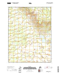
2018 · Christian A-2 NW
USGS Topo · 1:25,000
2018 · Christian A-3 NE
USGS Topo · 1:25,000