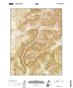
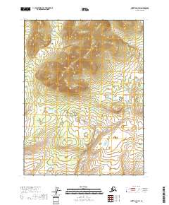
2018 Map of Christian B-4 NW
USGS Topo · Published 2018About this map
Kocacho Cr and Marten Cr flow through this interior reach of the Yukon-Koyukuk Census Area, defining the drainage patterns of a landscape marked by substantial elevation changes. The territory is divided by the rectangular grid of the Public Land Survey System, encompassing portions of t31n r8e, t31n r9e, t30n r8e, and t30n r9e. This 2018 survey illustrates a region defined by its natural watercourses and topographic relief rather than human settlement, as no roads or structures are recorded on the sheet. The proximity of these two creeks suggests a divide where small tributaries begin their descent through the surrounding uplands, providing a precise look at the hydrology of this specific northern Alaskan township block.
Find a feature on this map
6 named features on this map. Tap any name to fly to it.
Don’t see what you’re looking for? This feature index may not catch every label — zoom into the map to look around manually.
Map Details
Editions of this 2018 Christian B-4 NW Map
This is the sole edition of this map. No revisions or reprints were ever made.
Other maps of this area

1951 · Christian
USGS Topo · 1:250,000

1956 · Christian
USGS Topo · 1:250,000
1990 · Christian C-4
USGS Topo · 1:63,360
1990 · Christian C-5
USGS Topo · 1:63,360
1990 · Christian B-4
USGS Topo · 1:63,360
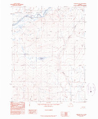
1990 · Christian B-5
USGS Topo · 1:63,360
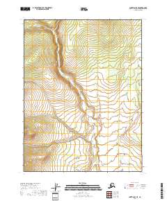
2018 · Christian B-5 SE
USGS Topo · 1:25,000
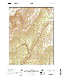
2018 · Christian B-5 NE
USGS Topo · 1:25,000
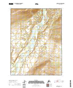
2018 · Christian C-5 SE
USGS Topo · 1:25,000
2018 · Christian B-4 SW
USGS Topo · 1:25,000