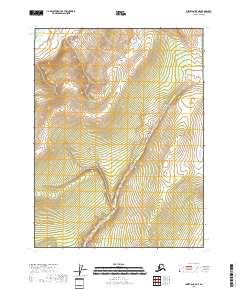
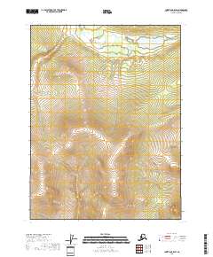
2018 Map of Christian B-5 NE
USGS Topo · Published 2018About this map
East Fork Chandalar River cuts through the northwest corner of this sub-arctic terrain, marking a significant drainage within the Yukon-Koyukuk Census Area. The landscape is defined by the winding course of Kocacho Cr, which snakes through the central and southern portions of the territory. This map documents the remote interior of Alaska as it appeared during the late 2010s, focusing on natural hydrography and elevation contours rather than human-made infrastructure. The absence of roads or established settlements emphasizes the wilderness character of these townships, which are primarily delineated by the Public Land Survey System grid including t31n r7e and t30n r8e. For researchers of northern geography, it provides a precise record of the river channels and tributary streams that shape the hydrology of the Chandalar region.
Find a feature on this map
6 named features on this map. Tap any name to fly to it.
Don’t see what you’re looking for? This feature index may not catch every label — zoom into the map to look around manually.
Map Details
Editions of this 2018 Christian B-5 NE Map
This is the sole edition of this map. No revisions or reprints were ever made.
Other maps of this area

1951 · Christian
USGS Topo · 1:250,000

1956 · Christian
USGS Topo · 1:250,000
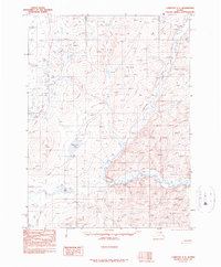
1990 · Christian C-4
USGS Topo · 1:63,360
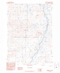
1990 · Christian C-5
USGS Topo · 1:63,360
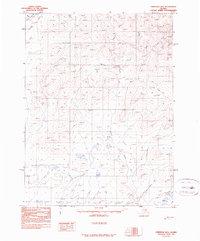
1990 · Christian B-4
USGS Topo · 1:63,360
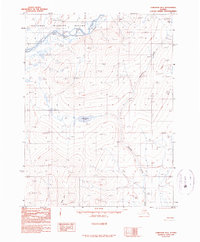
1990 · Christian B-5
USGS Topo · 1:63,360
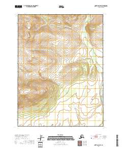
2018 · Christian C-5 SW
USGS Topo · 1:25,000
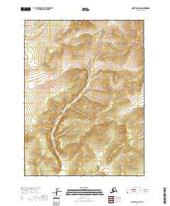
2018 · Christian B-4 NW
USGS Topo · 1:25,000
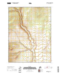
2018 · Christian B-5 SE
USGS Topo · 1:25,000
2018 · Christian B-5 SW
USGS Topo · 1:25,000