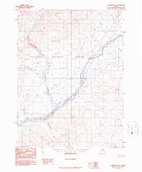
1990 Map of Christian B-6
USGS Topo · Published 1990About this map
Arctic National Wildlife Refuge preserves a vast, roadless expanse where the Chandalar River system carves through high mountain terrain. This 1980s landscape is defined by the convergence of major tributaries, including the North Fork and the East Fork Chandalar River. The lack of road infrastructure underscores the isolation of the territory, with human activity represented only by small Cabins situated along the riverbanks near the center of the sheet.
Find a feature on this map
11 named features on this map. Tap any name to fly to it.
Don’t see what you’re looking for? This feature index may not catch every label — zoom into the map to look around manually.
Map Details
Editions of this 1990 Christian B-6 Map
This is the sole edition of this map. No revisions or reprints were ever made.
Other maps of this area

1951 · Chandalar
USGS Topo · 1:250,000

1951 · Christian
USGS Topo · 1:250,000

1956 · Chandalar
USGS Topo · 1:250,000

1956 · Christian
USGS Topo · 1:250,000

1964 · Chandalar
USGS Topo · 1:250,000
1990 · Chandalar A-1
USGS Topo · 1:63,360
1990 · Christian C-6
USGS Topo · 1:63,360
1990 · Chandalar B-1
USGS Topo · 1:63,360
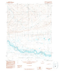
1990 · Christian A-6
USGS Topo · 1:63,360
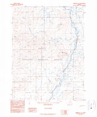
1990 · Christian C-5
USGS Topo · 1:63,360