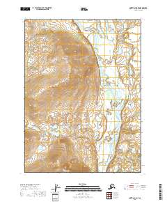
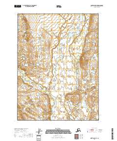
2018 Map of Christian C-5 NE
USGS Topo · Published 2018About this map
The East Fork Chandalar River winds through the eastern portion of this Interior Alaska landscape, serving as the dominant geographic feature of the Yukon-Koyukuk region. To the west, the terrain rises toward significant elevations marked by Big Rock Mtn and Little Rock Mtn, which define the local drainage patterns. This map illustrates a remote wilderness characterized by sharp topographic relief and the braided channels of the river valley. The absence of roads or permanent settlements highlights the isolated nature of the Brooks Range foothills, where the environment is shaped primarily by the seasonal flow of the river system and the massive stony outcrops of the local peaks.
Find a feature on this map
9 named features on this map. Tap any name to fly to it.
Don’t see what you’re looking for? This feature index may not catch every label — zoom into the map to look around manually.
Map Details
Editions of this 2018 Christian C-5 NE Map
This is the sole edition of this map. No revisions or reprints were ever made.
Other maps of this area

1951 · Christian
USGS Topo · 1:250,000

1956 · Christian
USGS Topo · 1:250,000
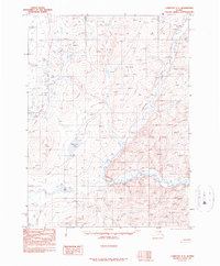
1990 · Christian C-4
USGS Topo · 1:63,360
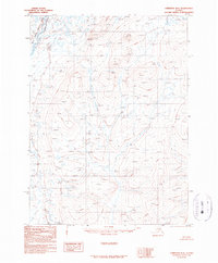
1990 · Christian D-4
USGS Topo · 1:63,360
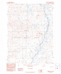
1990 · Christian C-5
USGS Topo · 1:63,360
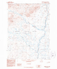
1990 · Christian D-5
USGS Topo · 1:63,360
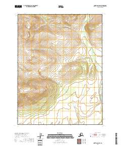
2018 · Christian C-5 SW
USGS Topo · 1:25,000
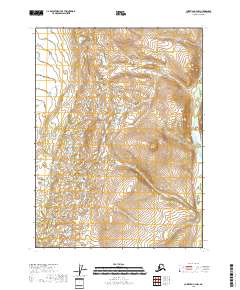
2018 · Christian C-4 NW
USGS Topo · 1:25,000
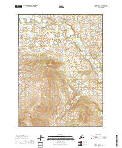
2018 · Christian D-5 SW
USGS Topo · 1:25,000
2018 · Christian D-5 SE
USGS Topo · 1:25,000