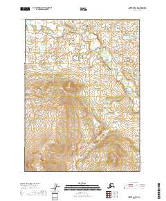
2018 Map of Christian D-5 SW
USGS Topo · Published 2018About this map
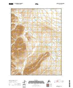
Wind River carves a meandering path through the northern reaches of this landscape, its serpentine channels creating a complex network of oxbows and wetlands across the flats. This 2018 survey by the U.S. Geological Survey illustrates a wilderness environment defined almost entirely by its drainage patterns, including the southern approach of Lush Cr. The map covers the intersection of townships T35N R6E, T35N R7E, T34N R6E, and T34N R7E, where the high-elevation terrain to the south drops toward the river valley. The absence of roads or established settlements emphasizes the remote character of this part of the Yukon-Koyukuk Census Area, offering a clear record of the natural hydrology and topography as it exists in the early twenty-first century.
Find a feature on this map
6 named features on this map. Tap any name to fly to it.
Don’t see what you’re looking for? This feature index may not catch every label — zoom into the map to look around manually.
Map Details
Editions of this 2018 Christian D-5 SW Map
This is the sole edition of this map. No revisions or reprints were ever made.
Other maps of this area

1951 · Christian
USGS Topo · 1:250,000

1956 · Christian
USGS Topo · 1:250,000
1990 · Christian C-6
USGS Topo · 1:63,360
1990 · Christian C-5
USGS Topo · 1:63,360
1990 · Christian D-5
USGS Topo · 1:63,360
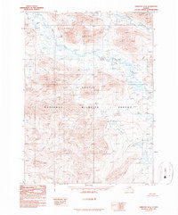
1990 · Christian D-6
USGS Topo · 1:63,360
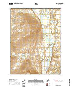
2018 · Christian C-5 NE
USGS Topo · 1:25,000
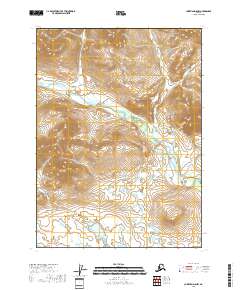
2018 · Christian D-5 NW
USGS Topo · 1:25,000
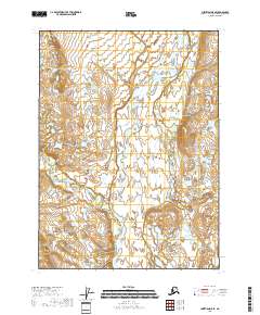
2018 · Christian D-5 SE
USGS Topo · 1:25,000
2018 · Christian D-6 SE
USGS Topo · 1:25,000