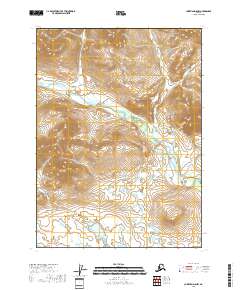
2018 Map of Christian D-5 NW
USGS Topo · Published 2018About this map
Buffalo Mtn dominates the southwestern portion of this interior landscape within the Yukon-Koyukuk Borough. The terrain is defined by a high-latitude drainage system, where the winding course of Smoke Creek and its unnamed tributaries carve through the upland ridges. This 2018 survey illustrates a remote section of the Alaskan wilderness where human infrastructure is entirely absent, represented only by the foundational Public Land Survey System grids of T37N, T36N, and T35N. The intricate contour lines reveal a complex network of ridgelines and valleys, providing an essential record of the natural topography for those studying the hydrological patterns and elevation changes of this roadless region.
Find a feature on this map
10 named features on this map. Tap any name to fly to it.
Don’t see what you’re looking for? This feature index may not catch every label — zoom into the map to look around manually.
Map Details
Editions of this 2018 Christian D-5 NW Map
This is the sole edition of this map. No revisions or reprints were ever made.
Other maps of this area

1951 · Christian
USGS Topo · 1:250,000

1951 · Arctic
USGS Topo · 1:250,000

1956 · Arctic
USGS Topo · 1:250,000

1956 · Christian
USGS Topo · 1:250,000
1972 · Arctic A-4
USGS Topo · 1:63,360
1972 · Arctic A-5
USGS Topo · 1:63,360
1990 · Christian D-5
USGS Topo · 1:63,360
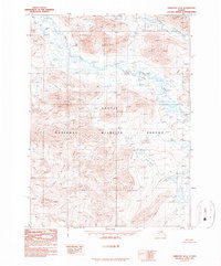
1990 · Christian D-6
USGS Topo · 1:63,360
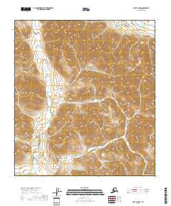
2018 · Arctic A-5 SE
USGS Topo · 1:25,000
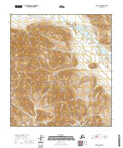
2018 · Arctic A-4 SW
USGS Topo · 1:25,000