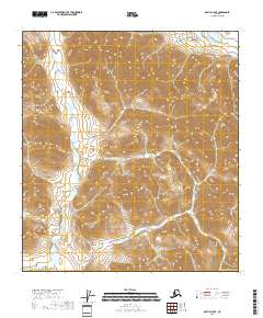
2018 Map of Arctic A-5 SE
USGS Topo · Published 2018About this map
Smoke Creek meanders through the southwestern corner of this landscape, representing one of the few named hydrographic features in this high-latitude terrain. Located within the North Slope Borough, the area is defined by complex topographic contours that trace the steep elevations of the Brooks Range foothills. The absence of roads, structures, or established settlements emphasizes the wilderness character of the region during this 2018 survey. Instead, the map is organized by the Public Land Survey System grid, clearly delineating townships such as t16s r24e and t15s r24e. This systematic overlay provides the primary framework for understanding spatial orientation in a territory where natural landmarks like Smoke Creek serve as the principal points of reference for travelers and researchers.
Find a feature on this map
11 named features on this map. Tap any name to fly to it.
Don’t see what you’re looking for? This feature index may not catch every label — zoom into the map to look around manually.
Map Details
Editions of this 2018 Arctic A-5 SE Map
This is the sole edition of this map. No revisions or reprints were ever made.
Other maps of this area

1951 · Christian
USGS Topo · 1:250,000

1951 · Arctic
USGS Topo · 1:250,000

1956 · Arctic
USGS Topo · 1:250,000

1956 · Christian
USGS Topo · 1:250,000
1972 · Arctic A-4
USGS Topo · 1:63,360
1972 · Arctic A-5
USGS Topo · 1:63,360
1990 · Christian D-5
USGS Topo · 1:63,360
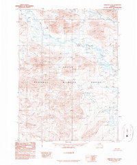
1990 · Christian D-6
USGS Topo · 1:63,360
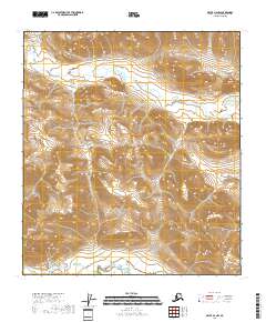
2018 · Arctic A-4 NW
USGS Topo · 1:25,000
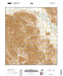
2018 · Arctic A-4 SW
USGS Topo · 1:25,000