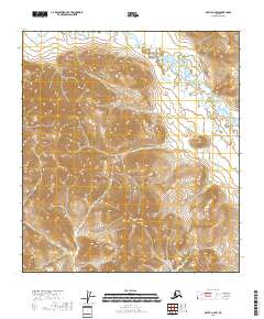
2018 Map of Arctic A-4 SW
USGS Topo · Published 2018About this map
Smoke Mtn dominates the central topography of this high-latitude survey in the North Slope Borough. The landscape is defined by the complex drainage patterns of Crow Nest Creek, which winds through the northern and eastern reaches of the quadrangle. This 2018 edition reveals the stark relief of the Brooks Range foothills through detailed contouring, providing a clear record of the watershed and landform distribution before any potential industrial or climatic shifts. The map illustrates the vast, uninhabited character of this Arctic region, where the primary markers are natural features rather than human settlements.
Find a feature on this map
9 named features on this map. Tap any name to fly to it.
Don’t see what you’re looking for? This feature index may not catch every label — zoom into the map to look around manually.
Map Details
Editions of this 2018 Arctic A-4 SW Map
This is the sole edition of this map. No revisions or reprints were ever made.
Other maps of this area

1951 · Christian
USGS Topo · 1:250,000

1951 · Arctic
USGS Topo · 1:250,000

1956 · Arctic
USGS Topo · 1:250,000

1956 · Christian
USGS Topo · 1:250,000
1972 · Arctic A-4
USGS Topo · 1:63,360
1972 · Arctic A-5
USGS Topo · 1:63,360
1990 · Christian D-5
USGS Topo · 1:63,360
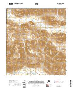
2018 · Arctic A-4 NW
USGS Topo · 1:25,000
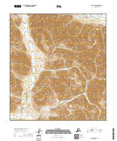
2018 · Arctic A-5 SE
USGS Topo · 1:25,000
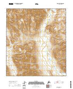
2018 · Arctic A-5 NE
USGS Topo · 1:25,000